Miserably hot and humid air — for any time of year, much less May — continued to juice the southern U.S. atmosphere over Memorial Day weekend. The record-challenging heat teamed up with a still-active springtime jet stream to trigger a marathon stretch of destructive thunderstorms, further extending a month of near-relentless severe weather. At least 23 deaths related to the long weekend of storms have been reported, according to the Associated Press, and the NOAA/NWS Storm Prediction Center tallied 123 filtered tornado reports for the period May 23-27.
The rampage didn’t stop with the holiday. As of early afternoon Tuesday, May 28, more than 1 million Texas customers had lost power after damaging thunderstorm winds slammed both Dallas and Houston as well as many communities in between. Winds gusted to 95 mph in The Colony, north of Dallas; 75 mph at Dallas’s Love Field (6:16 a.m. CDT); and 88 mph at Houston’s Bush Intercontinental Airport (1:15 p.m. CDT).
Below is a quick summary of some (not all!) of the most noteworthy severe events since our post on Wednesday, May 22. These events touch on a smorgasbord of storm phenomena and challenges, including nighttime vulnerability and poor home construction. If there’s a flashing red light related to climate change in the mix, it’s the record-melting heat wave in Mexico and the Caribbean (see below) and the associated sultry tropical air pushing northward from the Gulf of Mexico into the persistent frontal zone. The uncommonly muggy air has been boosting instability as well as the risk of derechos and other thunderstorm-related high winds.
Thursday, May 23: A tornado in far southwest Oklahoma that produced almost no damage was arguably the most visually and scientifically stunning of the period, displaying a mini-textbook full of tornado behavior in a sparsely populated area. An initial storm survey found only EF2 damage on the Enhanced Fujita Scale along a 15-mile path. Radar data and scoured ground cover suggest there might have been stronger pockets of wind that failed to hit an EF-relevant structure.
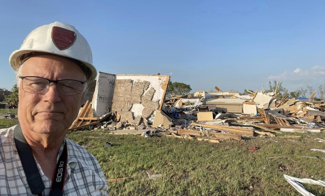
Saturday, May 25: A strongly worded moderate-risk area (level 4 of 5) across the Southern Plains underperformed for most of the day. But after sunset, several long-duration supercells took advantage of the exceptionally unstable air and spawned destructive tornadoes. At least seven people died in the Valley View area north of Dallas, where a late-night long-track EF3 tornado pummeled newly built homes, a truck stop on Interstate 35 (trapping dozens of people), a manufactured home community, and campers on Lake Roy Roberts along its 48-mile path.
Another long-lived supercell late Saturday night dropped a series of tornadoes, including two large EF3 twisters. One, about a mile wide, struck near Claremore, Oklahoma, killing two residents of a manufactured home, and the other, close to 1.7 miles wide, hit near Decator, Arkansas. The latter tornado caused extensive damage in Rogers, Arkansas, and at least seven people died across the state from tornadic and/or straight-line wind damage.
Sunday, May 26: Yet another long-lived supercell raced from southeastern Missouri into western Kentucky, spawning several tornadoes. One long-lived EF3 twister carved a 36-mile path that passed just north of Dawson Springs — one of the towns devastated by a bizarre and deadly wintertime tornado in December 2021. The storms led to at least 5 deaths in Kentucky, according to Gov. Steve Beshear.
Monday, May 27: One of the most-feared severe weather scenarios from a financial perspective — a severe hailstorm rampaging through the Dallas-Fort Worth area — came to pass on Monday afternoon.
The torrid elephant in the room: Unprecedented May heat and humidity
As we discussed in our post of May 22, the tornado activity this month has been extensive — and the annual tornado count to date is now approaching the modern record set in 2011 — but the tornado-related death and damage are actually well below that observed in several other years, especially 2011. What stands out the most is the sheer grinding toll of widespread wind and hail damage, exacerbated by vulnerability (given more and more people with more and more stuff in hail-prone areas).
The insufferable heat and humidity of recent days, especially in Texas, have certainly contributed to the wind-production potential of the recent storms, including the destructive Houston derecho of May 16 that may have produced billions in damage. In turn, the source region of that air mass is the Gulf of Mexico — currently at near-record warmth for the date — and the jet stream has remained strong in part because of the intense upper-level high associated with all-time record heat in and near Mexico. It’s a dangerous combination indeed, and subtropical heat waves and “hot droughts” are a well-established consequence of a warming climate.
Yale Climate Connections meteorologist Jeff Masters spoke with CBC’s Andrew Chang Monday about the wild weather in Mexico. Watch the segment:
Jeff Masters contributed to this post.


